We do not design shows in a vacuum. When the terrain is complex or the show demands a tighter connection to place, we build a digital twin of the site that mirrors real-world features.
Using survey-grade RTK GPS and leading GIS tools we create detailed 3D models, capturing elevation, obstructions, and key audience sightlines. We then animate and simulate from the viewer's perspective to ensure each moment lands with clarity and intent.
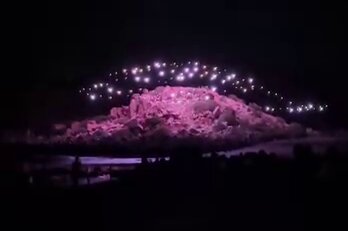
Light behaves differently depending on where it is and what surrounds it. It reflects off water, dapples through trees, and climbs the contours of hills. Precision lets us choreograph with confidence, not only in the sky but in relation to the ground it illuminates.
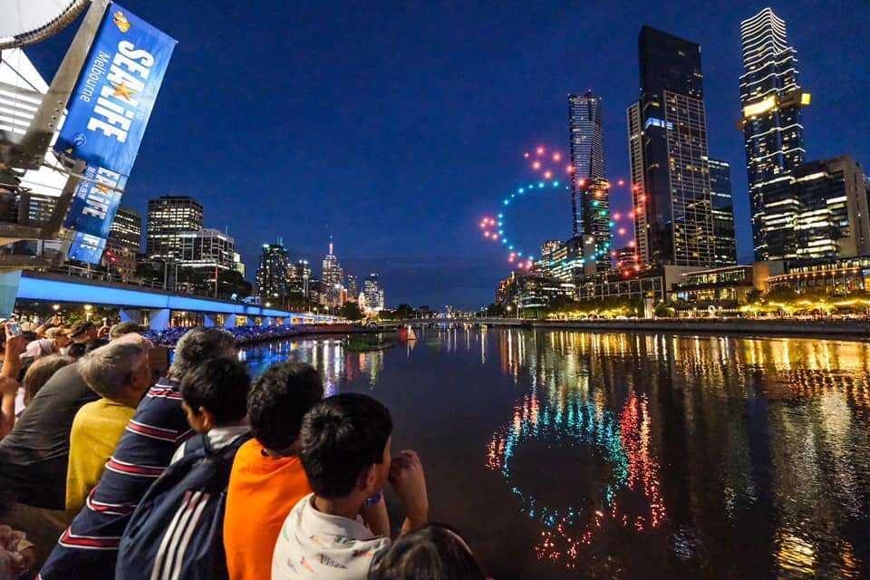
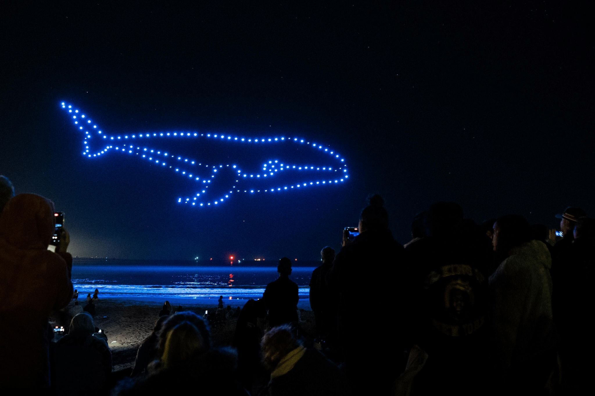
If your space has a dramatic slope, we will fly with it. If it features a central tree or sculpture, we can wrap light around it. The landscape becomes part of the story, a collaborator rather than a constraint. When drones engage with place they transform from lights in the sky into a dialogue with the land. That is why when it matters most we design from the ground up.